
Finding a Clermont County Street
Begin with one full Clermont County address and let the property record set the order. The Auditor and General Mapping connect an address to a parcel, while the Recorder connects a party name and legal description to recorded instruments. In Clermont County, a street directory search is a method for checking those records together, not a road-wide roster. Ohio voter tools are different: the individual lookup is for a person, not a road-wide browse. This sequence gives a reader a way to test one record against another without claiming that an owner or mailing contact represents every person at a place.
- Enter the address in Clermont County General Mapping. If an exact entry fails, the county guide advises using less text, such as the street number or part of the road name.
- Use the returned parcel and its links in the Clermont County Auditor Real Estate Search. Preserve the parcel number, situs address, owner field, and legal description as separate clues.
- Search the current owner as a grantee in the Recorder's document index. Then use the seller, document date, instrument number, and legal description to move through the deed trail.
- When a person must be checked, use Ohio My Voter Information with that person's name. It is a person-level registration tool, not evidence of ballot choices or a street roster.
- For a historic household question, use the 1882 county gazetteer and the Batavia research collection as period-specific leads. Clermont County research did not verify an exhaustive modern reverse-directory shelf.
That order is deliberate. Clermont County parcel data can point to an owner of record, but it cannot establish a full household. The legal description is often the steadier bridge when a number, postal label, or road name has changed.
Clermont County Street Directory Coverage
The Clermont County street directory angle is strongest where a record is keyed to land or a public address report. Each source has a different scope. The property record identifies the parcel context, the map shows position and nearby parcels, the Recorder documents land instruments, and election sources remain subject to statutory privacy limits. Permit files can add timing, but the correct custodian depends on the municipality or county jurisdiction.
| Address record | Custodian | What it can show | Access route |
|---|---|---|---|
| Parcel record | Clermont County Auditor | Parcel ID, owner and tax context, situs and mailing fields when displayed | Public iasWorld owner, address, or parcel search |
| Parcel map | County GIS | Parcel geometry, roads, adjacent parcels, and available layers | General Mapping address, parcel, owner, or road search |
| Deed, mortgage, or release | Clermont County Recorder | Recorded parties, dates, instruments, and legal-description links | CountyFusion from 1980 forward; counter or mail for earlier material |
| Registration information | Ohio Secretary of State or Board of Elections | Lawful registration information or date-specific county file access | Person lookup, Walking List where permitted, or DATA Act archive |
| Permit or code file | County or municipal custodian | Public project or inspection evidence where retained | Confirm jurisdiction with GIS before requesting a record |
No row is a complete list of residents. In Clermont County, a mailing address may be a correspondence field and may differ from the situs, while a parcel owner may be a trust, estate, or other nonresident owner. Match the field to the question before drawing a conclusion.
Clermont County Auditor Street Fields
The public Auditor interface is an iasWorld property search, not a people index. It offers separate owner, street-address, and parcel modes. Its parcel search accepts all or part of a parcel number and documents the * wildcard, so 123* finds parcel numbers beginning with those digits and *456 finds endings. After a search, the Selection Manager and Mailing List report can export selected parcel results to CSV or Excel.
| Field or control | Type | Required | Clermont County use |
|---|---|---|---|
| Owner | Search mode | No | Name-oriented property search |
| Address | Search mode | No | Situs street-address search |
| Parcel ID | Text | Yes in parcel mode | All or part of the number; * is documented |
| Sort by | Dropdown | No | Orders results |
| Results per page | Dropdown | No | Changes the result display |
| Search | Button | Yes to run a query | Runs the selected mode |
For a Clermont County street search, save the parcel number rather than relying only on the street spelling. The parcel number and legal description can keep the trail intact when the next record uses a party name or a plat reference instead of the present address.
Clermont County Street Map Search
Clermont County General Mapping is the county's spatial starting point for an address, parcel ID, owner, or road search. The official training material says that a returned parcel or road is outlined in red. A click opens a popup where available layer information and links can be reviewed. The Layer List and Legend show available layers, while the Basemap Gallery can switch between aerial and street bases.
The map's usefulness for a Clermont County street directory is practical rather than speculative. Pan along the road, click the adjoining parcel geometry, and use the map layers to check roads, addresses, townships, precincts, zoning, and ZIP data. The county also makes data for parcels, addresses, roads, zoning, townships, precincts, and ZIPs available for download. Those layers describe official geography, not a promise that every name found in another source is a current occupant.
The same training material documents Measure, Print, and Draw tools. Measure supports line or polygon work, Print accepts a title, layout, and format, and Draw adds lines, polygons, or text. Those controls help keep a Clermont County street search tied to the selected geography. They do not add personal fields to the parcel popup, whose full field-by-field labels were not verified in the research.
Note: Use a shorter number or partial road name after an exact Clermont County search misses, then confirm the returned geometry before opening another record.
Clermont County Recorder Street Trails
The Recorder's document trail is usually party- and instrument-based, not a direct address search. The Recorder advises that a name-only query is the most complete and that less information returns more possibilities. Once a deed is located, the current grantee, prior grantor, recording date, instrument or document number, legal description, and any preceding reference can become the next search terms.
The Recorder's search instructions route users to CountyFusion and the office's help materials.
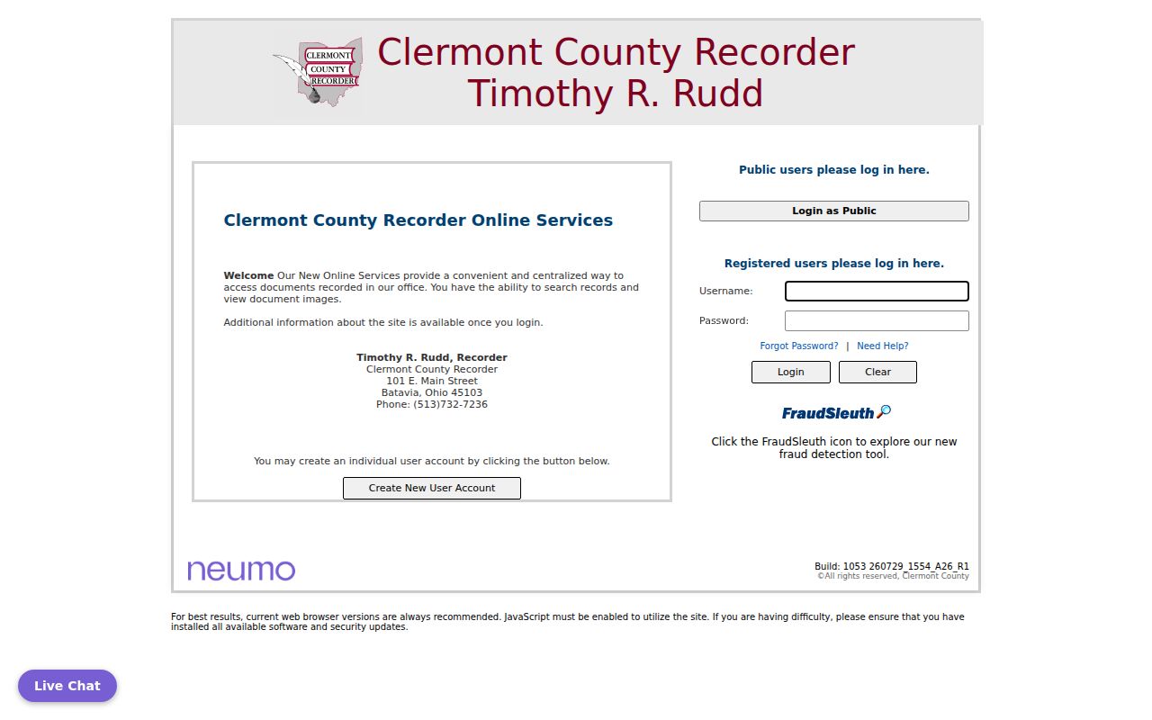
Use the instructions to reach the official document-search path before comparing a parcel clue with recorded instruments.
CountyFusion is the Recorder's online document-index entry point for Clermont County records recorded from 1980 to the present.
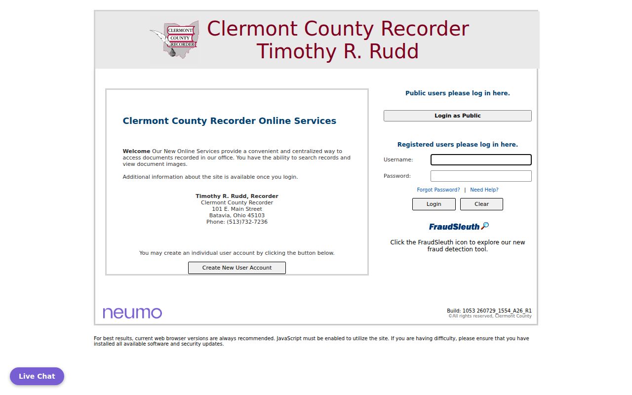
A document found there should be read for its parties, date, and legal description, then checked against the Auditor parcel rather than treated as proof of current residence.
The Recorder holds much more than a sale trail. Clermont County recorded instruments include deeds, mortgages, releases, liens, leases, land contracts, trusts, easements, and plats. A street directory search becomes more reliable when the actual instrument type is retained with the record, especially where a transfer follows an estate, trust, foreclosure, or another change that was not an ordinary purchase.
Clermont County Street Names and Plats
When an old Clermont County address does not match the current road name or house number, search the land description before declaring a dead end. The Recorder specifically records annexation petitions, street-name changes, street and alley vacations, centerline surveys, and subdivision or condominium plats. These are continuity records: they can explain why a historic directory, deed, or map uses a different street reference.
A plat identifies a mapped subdivision, lot, or block. For rural acreage without a lot number, the Recorder directs researchers to tax-map survey plats at the Engineer's Office, which are also available through Auditor property search. The legal description and plat context may therefore be more durable than a postal label. Clermont County ZIP geography is not a municipal or parcel boundary, a point that keeps a Clermont County street directory search grounded in the actual parcel.
Clermont County Street Jurisdictions
Clermont County is not a single municipal system. An address may sit in Batavia, Milford, Loveland, Amelia, Bethel, New Richmond, Goshen, an unincorporated township, or another local jurisdiction. Use the Auditor parcel and GIS layers to identify the governing area before asking for a permit, code, cemetery, or local-clerk record. A postal city is not enough to assign custody.
Permit Central and Building Inspection are the county-level route for address-keyed permit work where the county is the custodian. Incorporated cities may manage their own permits. A permit can document a project, applicant, or timing, but it is not a household list. The correct response to a missing online result is an address-specific request to the agency that created the file.
Clermont County Street History Before 1980
CountyFusion's stated online interval begins in 1980. Earlier Clermont County deeds, plats, and index material remain available through the Recorder's physical channels, so the backward trail should move to the counter or a mailed copy request rather than stop at the web cutoff. The Recorder counter is at 101 E. Main Street in Batavia, open 8:00 a.m. to 4:30 p.m., and its phone is 513-732-7236.
Computer prints at the counter cost $0.10 per page, staff-pulled book copies cost $0.25 per page, and mail copies cost $2 per page plus a self-addressed stamped envelope. The Recorder's public-records policy follows the Ohio Public Records Act, R.C. 149.43. It recommends, but does not require, a request form and says a denial must be in writing with legal authority.
The Recorder asks that copy and recording checks be made to the Clermont County Treasurer. Cards are accepted subject to a 2.5% convenience fee or a $2 minimum, details that can help a researcher choose the counter, mail, or online route.
Clermont County Street Directory Limits
A Clermont County street directory cannot turn property data into an occupant roster. The Auditor's owner and mailing fields describe property and correspondence context. Ohio's individual voter lookup is person oriented, and the DATA Act archive is a date-and-county file source with protected-address rules. Clermont's Walking List lets candidate-tool users query and download a registered-voter address report in Microsoft Excel, but it remains subject to statutory privacy limits and does not disclose ballot choices.
The DATA Act archive holds date-specific Clermont County voter-registration snapshots rather than a live street browser. Each county board sends a daily 4:00 p.m. snapshot to the Secretary of State, which retains the data for at least 22 months after an election. That history is useful only within the public-record and protected-address limits the state sets.
- Parcel
- A numbered unit of land used to connect Auditor, GIS, and Recorder records.
- Situs address
- The physical property address, which may differ from a mailing correspondence address.
- Plat
- A recorded map that identifies a subdivision, lot, block, or related land layout.
- Criss-cross directory
- An address-arranged directory. No verified exhaustive modern Clermont County run was found in the research.
Ohio excludes protected voter-registration fields, including full or partial Social Security numbers, state identification numbers, telephone numbers, email, Safe at Home confidential records, and certain protected public-service-worker addresses. A redaction, sealed record, or substitute address is not a research challenge to work around. It marks information that should stay protected.
Clermont County FraudSleuth Alerts
Clermont County's Recorder offers FraudSleuth, a free alert service for a document recorded against a configured name. The Recorder advises separate profiles for each name variation, including a full middle name, middle initial, and nickname. An alert is not proof that a filing is fraudulent. Read the recorded document and contact the Recorder or a qualified adviser when the record needs review.
This is a useful final check after a street or property search because it points back to a newly recorded instrument, not to a claimed resident list. It also helps a researcher recognize that the Recorder is the source for the actual filing. The free alert does not replace checking the Clermont County instrument itself, its recording date, and the party information recorded in it.