
Clermont County Neighbors by Block
A block-focused search begins with a reference address and only the contiguous parcels around it. Clermont County's public tools separate map geometry, property ownership, recorded land changes, and election information. None creates a verified resident roster. The GIS shows where the parcels are; the Auditor supplies the owner-of-record path; the Recorder can explain a recorded transfer or plat; and election sources have their own legal boundaries. Start with the map, preserve the parcel number, and then consult the custodian that holds the narrower record.
| Source | What It Shows About a Block | Access |
|---|---|---|
| General Mapping GIS | Parcel geometry, nearby parcels, roads, and available layers | Public map with manual parcel selection |
| Auditor parcel record | Owner-of-record and property-tax context for one parcel | Public owner, address, or parcel search |
| Recorder index | Recorded title changes, plats, covenants, or HOA liens when recorded | Online from 1980, plus counter or mail for earlier material |
| Board or SOS election source | Lawful registration information or dated county data | Individual, walking-list, or archive channel with protected fields excluded |
| Permit custodian | An address-specific public project file, where retained | Confirm the jurisdiction before requesting an existing record |
| Voluntary group contact | Only a contact a group has chosen to publish | Verify with the group itself; no countywide member directory was found |
The table describes sources about a Clermont County block, not evidence that a particular person is an occupant. An owner can have a different mailing address, and a parcel record does not list every household member. Keep those distinctions in the notes you take for each adjacent parcel. This keeps the question focused on immediate Clermont County neighbors, not a countywide list.
Map a Clermont County Block
Clermont County General Mapping provides the spatial step. Search the reference address, parcel ID, owner, or road. The county guide recommends entering less information after a miss, such as a street number or partial road name. A returned feature is outlined in red. Click it to open the available popup, pan to the parcel on each side and across the road, and repeat only for the contiguous lots that make up the immediate block.
- Locate the reference address in General Mapping and preserve the selected parcel or road result.
- Click the parcels immediately beside it and across the road, using the popup and map extent to keep the group contiguous.
- Use the Auditor Real Estate Search by address, owner, or parcel to read the owner-of-record data for each selected parcel.
- Use the parcel or owner name in the Recorder only when a recorded transfer, plat, or covenant is relevant to that one parcel.
This is a map-to-record process, not a way to identify all people on a street. It produces a parcel map for the immediate neighbors of that address. For a full named-street record trail, use the Clermont County street directory instead of expanding a block search indefinitely.
Clermont County Owners and Households
The most important block-record correction is that an adjacent owner of record is not necessarily the person who lives there. The Auditor's property system is designed for owner, address, and parcel work. It can supply a parcel-centered ownership or mailing relationship, but not an occupant list. A mailing address may be outside the immediate block, and a recorded instrument can document a party's land relationship without showing where that person lives now.
Use the GIS and Auditor together to avoid mixing up two nearby lots with similar street numbers. Then keep the result labeled as owner of record. Do not turn a tax mailing contact, a recorded party, or a map popup into a claim about a household, renter, visitor, utility customer, or other person who may be connected to the address. This local myth check prevents a block map from becoming a misleading people list.
Note: Parcel geometry can place a property in its block, but it cannot establish a person's present residence or relationship to other occupants.
Clermont County Neighbor Map Layers
General Mapping makes the local boundaries around a Clermont County block easier to read. Its guide documents searches for addresses, parcels, owners, and roads, plus layer controls, aerial or street basemaps, measurement, drawing, and printing. The county's published GIS material includes parcels, addresses, roads, townships, ZIP codes, zoning, and voting precincts. Turn on only the layer needed to answer the question, then return to the parcel record for any owner-of-record detail.
These layers explain why nearby Clermont County addresses can share a road but be governed by different jurisdictions or use a postal label that is not a municipal boundary. When a public permit, code, or project file is relevant, confirm the jurisdiction first with the map and then ask the county or municipal custodian for the specific existing record. A boundary layer is context, not a household list.
Clermont County Voter Boundaries
Election information has an official block-level channel, but it needs careful use. Clermont's Walking List interface states that addresses for registered Clermont voters can be queried and downloaded as a Microsoft Excel report. Its visible controls include party, district, precinct, output format, report generation, and clearing selections. The inspected interface did not expose the dropdown values, so they should not be assumed.
The source is for lawful election-record access, not a broad people finder. Ohio's individual voter lookup is person-specific, while the DATA Act archive supplies dated county files. Neither source reveals candidate or issue choices. Protected records, including Safe at Home information and other statutory fields, stay excluded. A voter history entry can identify election participation information within the law, not how anyone voted.
The official Walking List is a record-access channel, not proof that a listed voter is a current resident or that any person selected a particular ballot choice.
Clermont County Records Beside You
The Clermont County Recorder's search instructions route users to CountyFusion for recorded documents. A selected adjacent parcel may have a deed, mortgage, release, plat, lien, covenant, or other recorded instrument that explains a documented land change. The Recorder also keeps annexation petitions, street-name changes, street or alley vacations, and centerline surveys. Those records can resolve an older parcel or road reference without claiming anything about who occupies the property.
Documents recorded from 1980 to the present are available through the web search. For earlier documents and physical material, use the Recorder's counter at 101 E. Main St., Batavia, or its mail-copy route. Counter computer prints cost $0.10 per page, while staff-pulled book copies cost $0.25 per page. Mailed copies cost $2 per page plus a self-addressed stamped envelope. A recorded HOA lien or subdivision plat may describe a property record; it is not a member directory.
Clermont County Neighbor Channels
No authoritative countywide HOA or member-directory inventory was found for Clermont County. It would be inaccurate to fill the gap with association cards or an alleged roster. Municipalities and unincorporated developments have different associations, and the reliable route depends on the parcel, plat, and jurisdiction. The valid channels below preserve that boundary while still giving a practical way to ask about an existing, public record.
| Valid Channel | Useful Question | Boundary |
|---|---|---|
| GIS and subdivision plat | Which parcel or recorded subdivision is next to the reference address? | Does not identify association members or residents. |
| Recorder record | Is there a recorded covenant, plat, or HOA lien for the parcel? | Only recorded documents are relevant; no membership claim follows. |
| Municipal or county custodian | Which office retains a public address-specific project file? | Confirm jurisdiction before making a request. |
| Association's published contact | Has the group voluntarily posted a public contact route? | Use only what the group itself publishes, not a claimed private roster. |
Commercial compilation tools have different source limits and correction routes from official parcel, court, and election channels. Prefer an original custodian record when a specific parcel fact matters. A compilation cannot turn an owner name into confirmed household information.
Clermont County Jail Listing Limits
The Clermont County Sheriff's Jail Inmate Search has a narrow and changing purpose. Its current listings can show a name, date of birth, sex, booking number and date, charge details, case number, court date, and bond information. The Sheriff states that the list updates at the top of every hour. A booking or custody display is not a conviction record, a present-address record, or evidence that a person belongs to an immediate block.
The current Clermont County jail listing is shown below as a source-specific example:
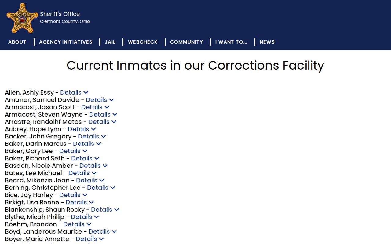
The image is a changing booking and custody list, not proof of current residence, and it should not be used as a routine neighbor finder.
If a public case number is already relevant to a lawful matter, use the correct Clerk or Municipal Court channel for docket context and its exclusions. Do not use the jail list to identify people on the block, infer current residence, or build a routine block search.
Clermont County Historical Context
The Clermont County Genealogical Society offers local library, obituary, cemetery, and newspaper resources that can provide family-history context for an older address. That material is not a current resident roster or a substitute for a parcel record. For a historic question, identify the actual book, index, or newspaper item and keep its date and source separate from a modern map result.
The Genealogical Society image is historical context only. It cannot establish a current household or association membership on a Clermont County block.
Clermont County Records Management is another historic referral point. Its facility preserves records for more than 40 county offices and reports 10,000 paper boxes, 6,500 historical journals and plat books, and nearly 500,000 electronic records. The office of origin remains the custodian, so ask that originating office how to inspect a transferred, microfilmed, or imaged series.
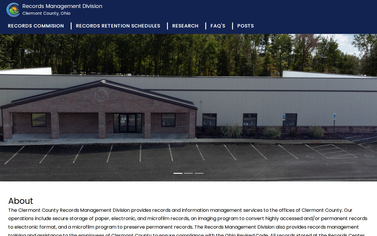
The Records Center image supports a historic-custodian referral, not a searchable list of present Clermont County residents.
Clermont County Neighbor Limits
Ohio Safe at Home is a hard boundary for any Clermont County neighbor lookup. R.C. 111.41 through 111.47 protect qualifying participants through a substitute address, and R.C. 149.43 exempts participant identifying information. Accept a redaction or substitute address as final. Do not attempt to reconstruct a protected location from other public records. Court protections, sealed records, juvenile and adoption material, protected petitions, and statutory voter-field exclusions are also not search gaps to work around.
Lawful use. Use Clermont County block records for personal, lawful property or civic research. Do not use block information to stalk, harass, threaten, or expose any person.
For a possible error, contact the office that owns the source. The Auditor handles property data, the Recorder handles recorded-instrument procedure, and the Board of Elections handles registration information. Keeping the work to documented parcels and respecting those correction routes protects both the record and the people behind it.